

")


Film Bundle: Process, Scan + Print is 20% Off!
Includes a set of 4×6 prints with each roll. Available through 4/30/26. See store for details.

PHOTO PRINTS
Archival quality prints in any size.

CLASSES
Become a better photographer!

PRESERVATION
Protecting heirlooms for the digital age.

FILM PROCESSING
Trust your rolls to our pro team!
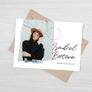
GREETING CARDS
Choose any style + design option!

PERSONALIZED GIFTS
Creative gifts with meaning.
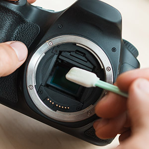
REPAIRS + CLEANING
For cameras, lenses + accessories.

RENTAL + USED GEAR
For professionals + amateur enthusiasts.